Marmousi Case Study
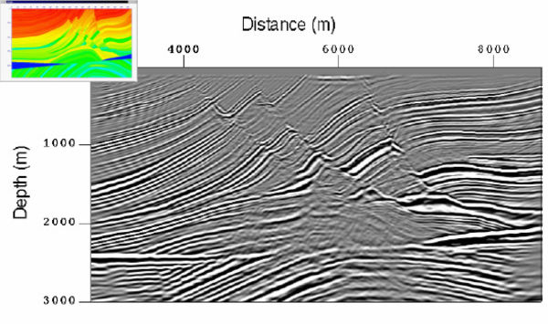
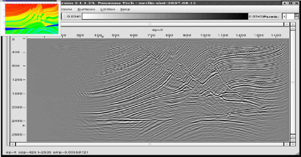
The Marmousi data set was generated under the direction of Roloff Versteeg (1990), while at the Institute de Francis du Petrol (IFP) in Paris, France. The velocity or Earth model is based on an actual prospect from offshore Western Africa. The Marmousi data have proven to be a gold mine for both development of imaging algorithms and for showing practitioners of the art that the world is not as simple as they originally thought. Here we see that problems with Kirchhoff techniques are not strictly limited to Gulf of Mexico style salt structures.
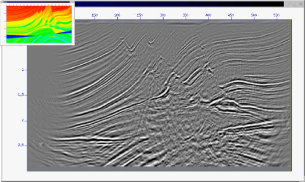
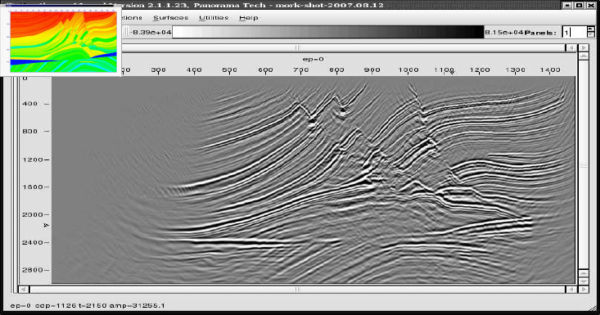
The various parts of Figure 4 are self-explanatory. The only conclusion we can reach is that multi-arrival methods are absolutely necessary to ensure optimum imaging. In the author's mind, the full two-way image in the lower right corner (Figure 4(f)) is superior to all the others, but at least three of the other methodologies would give satisfactory results for exploration purposes.

- Introduction
- Seismic Modeling
- History
- Zero Offset Migration Algorithms
- Exploding Reflector Examples
- Prestack Migration
- Prestack Migration Examples
- Common Azimuth on the SEG/EAGE C3-NA Synthetic
- Kirchhoff versus One-Way on a Gulf of Mexico 2D Salt Synthetic
- A North Sea Sill Synthetic
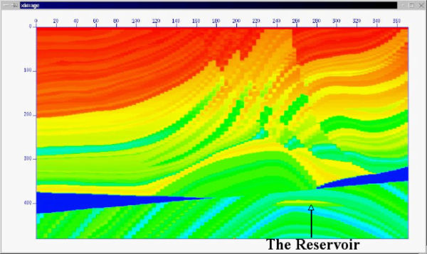
- Marmousi Case Study
- An Imaging Note and the BP 2.5 Dimensional Data
- BP 2.5 D Data
- BP 2004 Salt Structure Data
- SEG AA' Data Set
- Migration from Topography
- The SMAART JV Sigsbee Model
- SMAART JV Pluto Data Set
- SEG/EAGE C3-NA Data Imaging
- Anisotropic Earth Models
- Data Acquisition
- Migration Summary
- Isotropic Velocity Analysis
- Anisotropic Velocity Analysis
- Case Studies
- Course Summary